


Gain a ground-level perspective for your documentation with the new DroneDeploy Ground app. Formerly the Walkthrough app, our updated app offers a powerful solution for capturing, organizing, viewing and sharing project data efficiently.
Capture your project in 3 simple steps:
Step 1 - Login to your DroneDeploy account and select your project
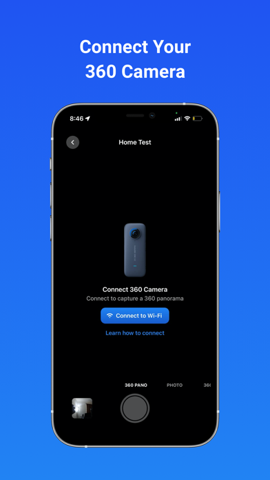
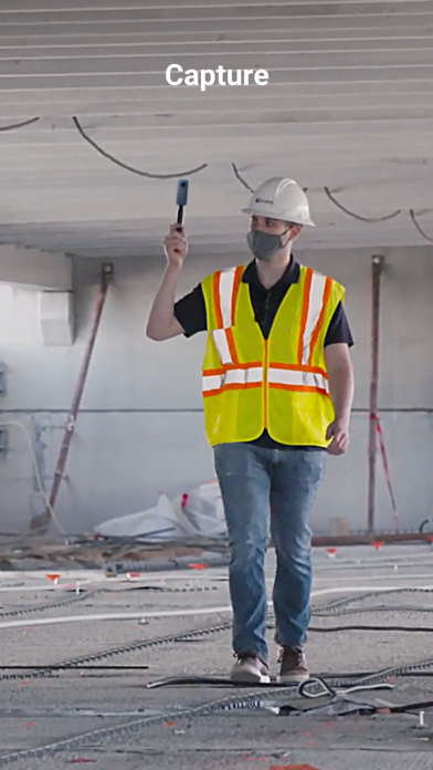
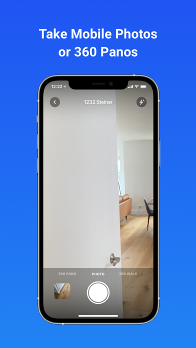
Step 2 - Connect your 360 camera and tap to record or capture standard photos, 360° panos, and 360° Walks
Step 3 - Sync your content to DroneDeploy
Once uploaded, your 360 captures will process in DroneDeploy. From there you are able to share with your team, compare over time, inspect, and markup.
Your inspections can also be synced to your existing tools like Procore, BIM360, and many more.
---
Supported 360 Cameras include:
• Insta360 OneRS 1"
• Insta360 X3
• Insta360 One X2
- Ricoh Theta Z1
Check out our supported hardware on our website to learn more.